
At 2925m high Mount Musala is the highest peak in Bulgaria and the Balkan Peninsula. It is the 7th highest mountain in Europe and is part of the Rila mountain range.
If you are in Bulgaria and fancy a challenge, then this is for you.
To start your hike, go to the local town of Borovets. There is a large cable car station situated on the main road into the town. Do not get confused with the chair lift on the other side of town, it should be pretty obvious.
Take backpack, water, snacks, waterproofs (even if it is a sunny day at the bottom!), woolly hat, gloves, scarf (or substitute) and warm weather gear.
Wear hiking boots, good socks (base layer and thick if you can), walking trousers, base layer and light, warm, wind proof layer.
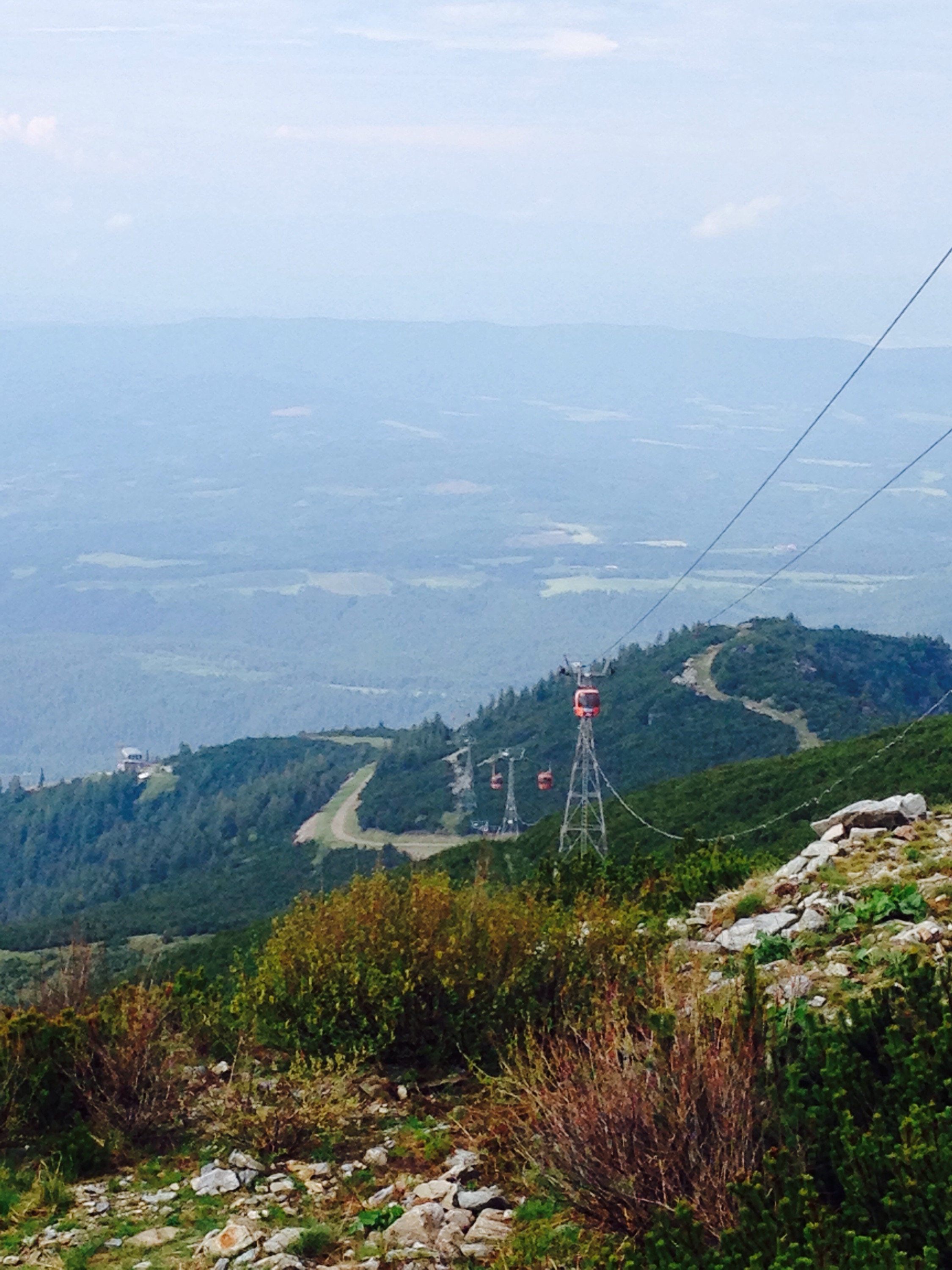
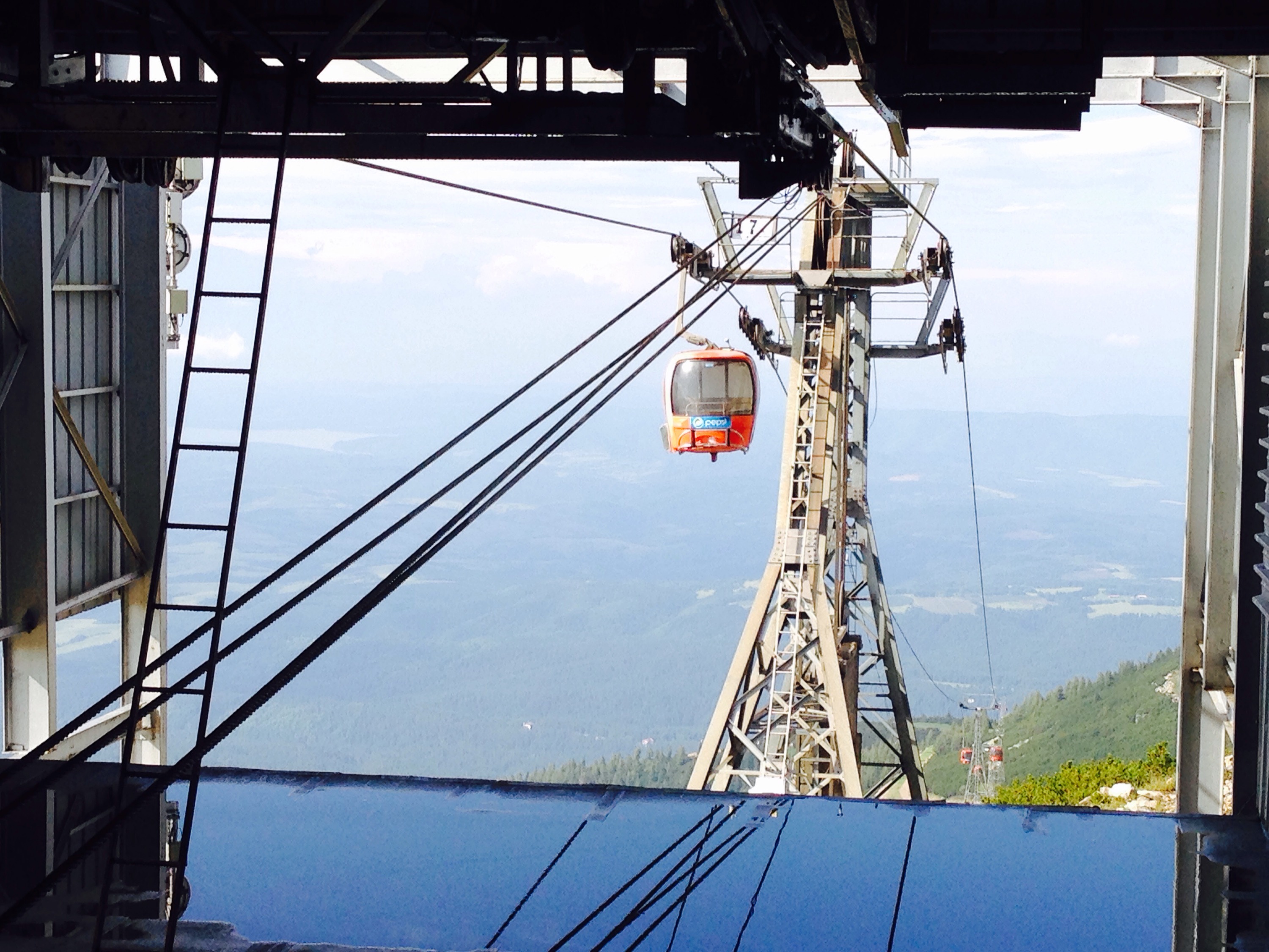
Depending on what kind of challenge you are up for, you can either take the car half way up or to the top.
If nothing else it is a nice sightseeing journey with nice views over the valley.
There is a clearly defined track all the way up the lower mountain which the cable car crosses several times. There are several waterfalls on route.
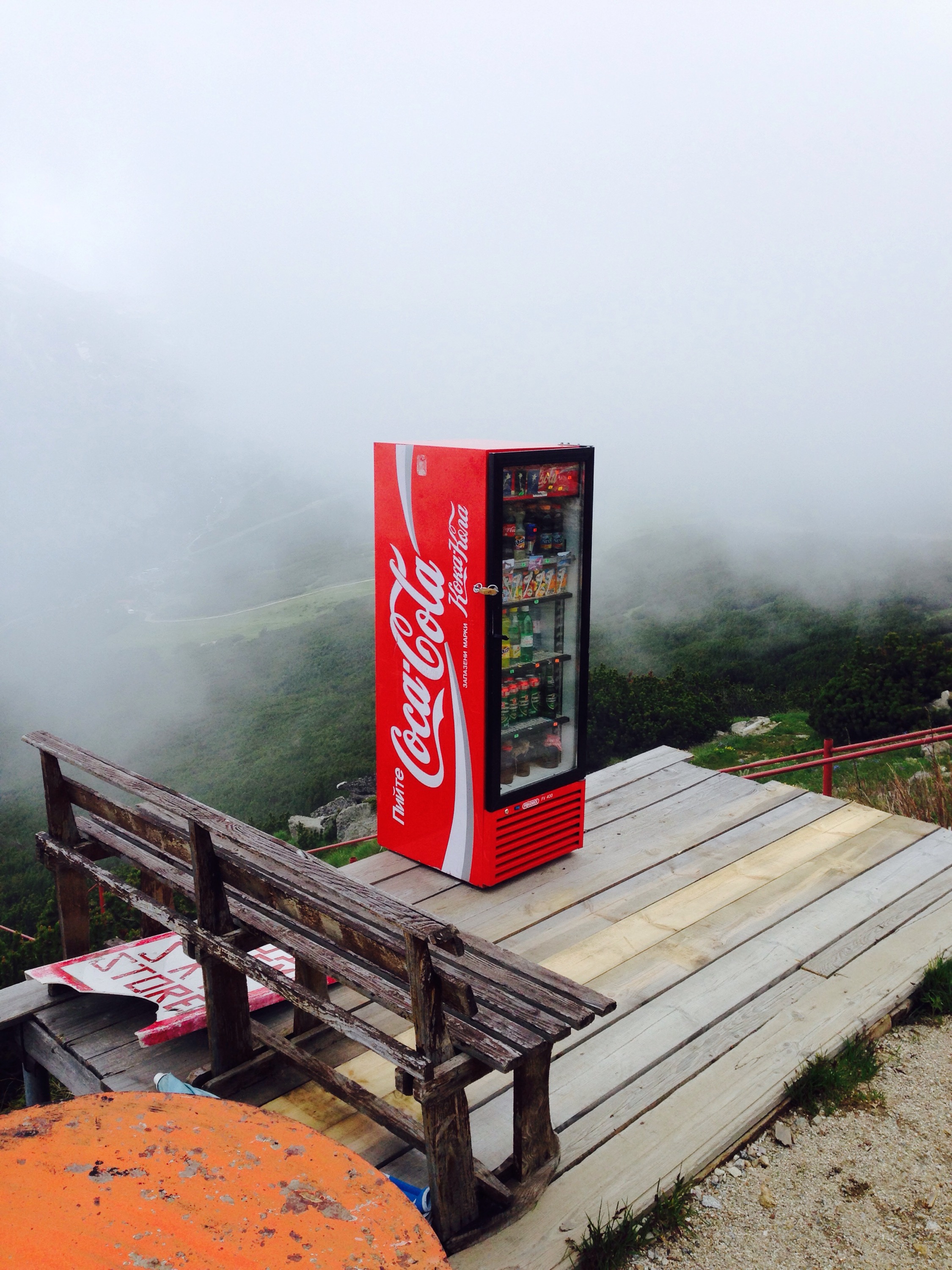
There is a decent cafe at the top if you feel like grabbing a bite and enjoying the views. Otherwise you can use the scarily balanced vending machine.
Railings of the steps to the cafe can be seen to the right of this picture.
If you are starting your hike from the top cable car station, it will take you two to three hours depending on how many opportunities you take to stop to take pictures or a breather. Make sure you take note of the last cable car down time, unless you fancy walking all the way down again.
From the top of the cable car, go straight along the ridge, you actually start by going down hill slightly, and then it is quite flat for a while.
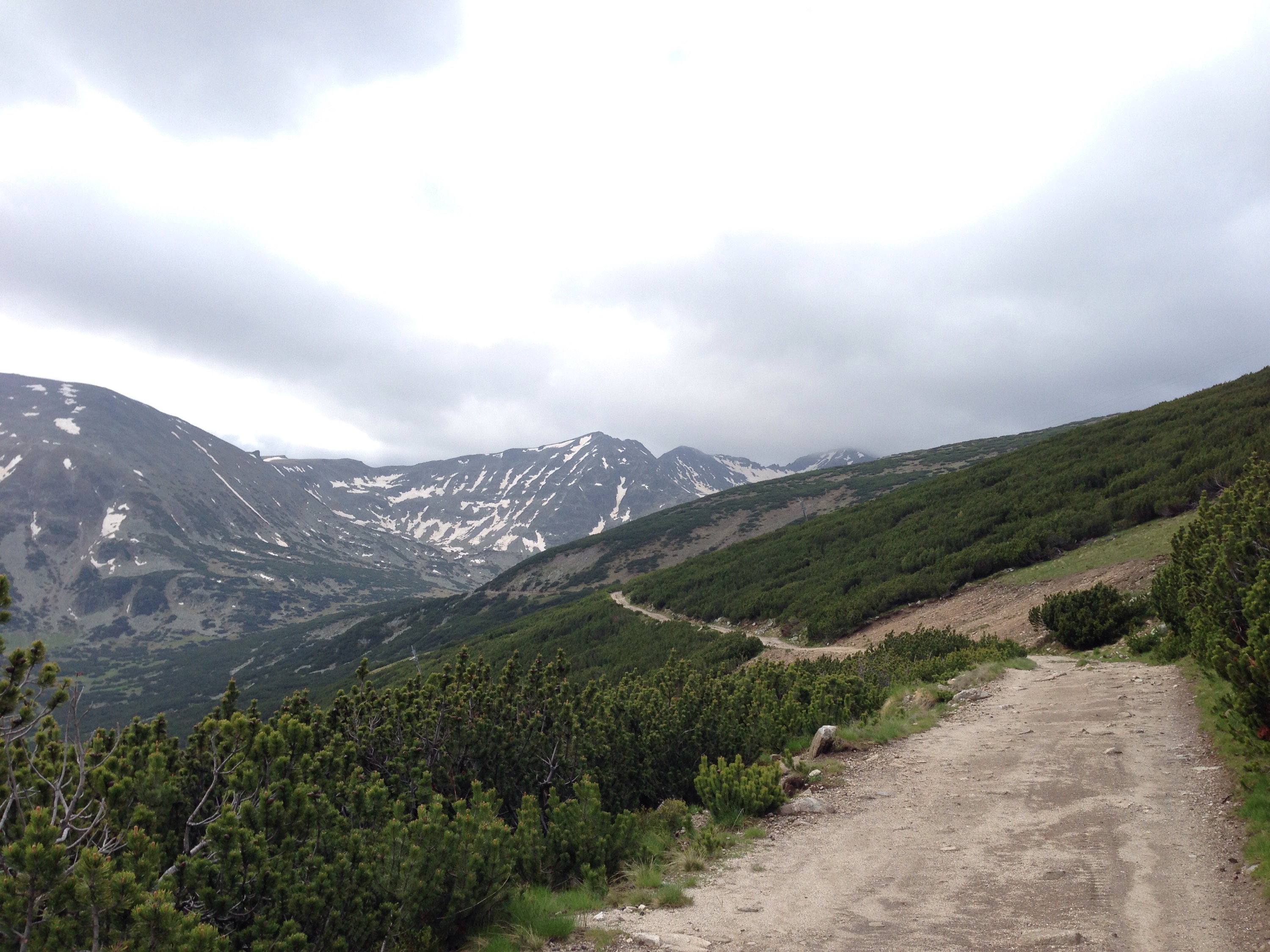
Don’t be fooled by following the steep downhill track to the left. We noticed quite a few people did this.
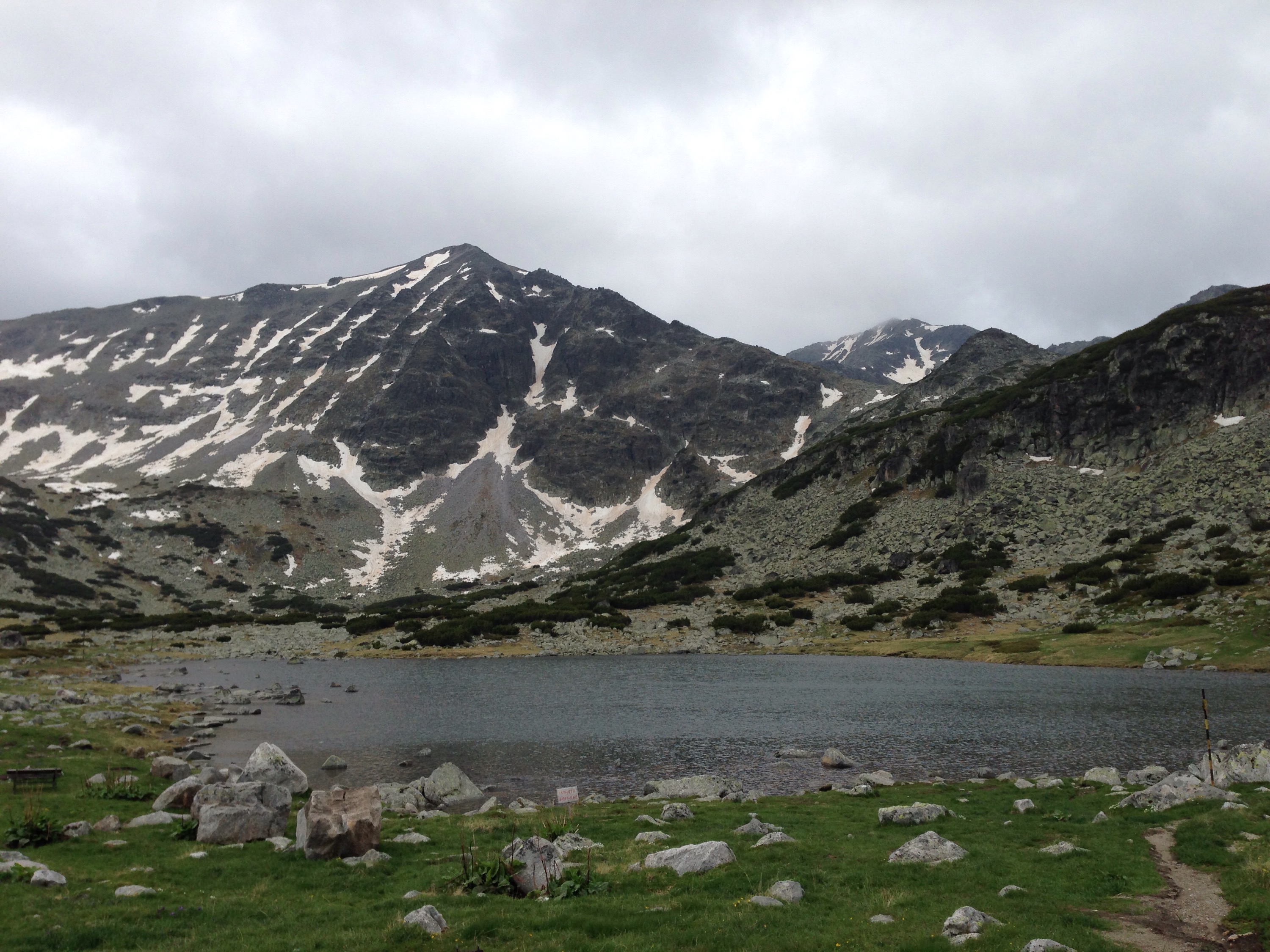
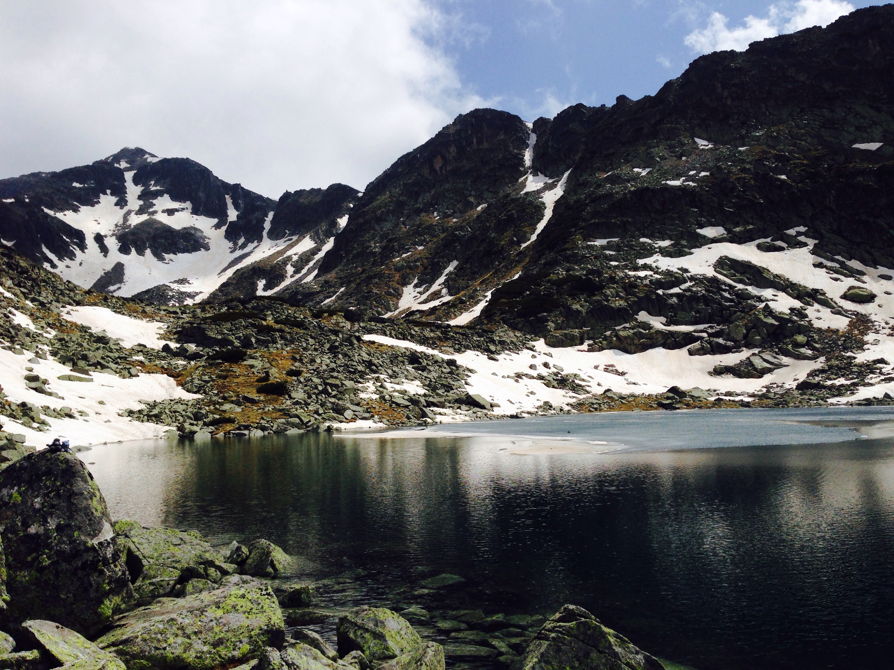
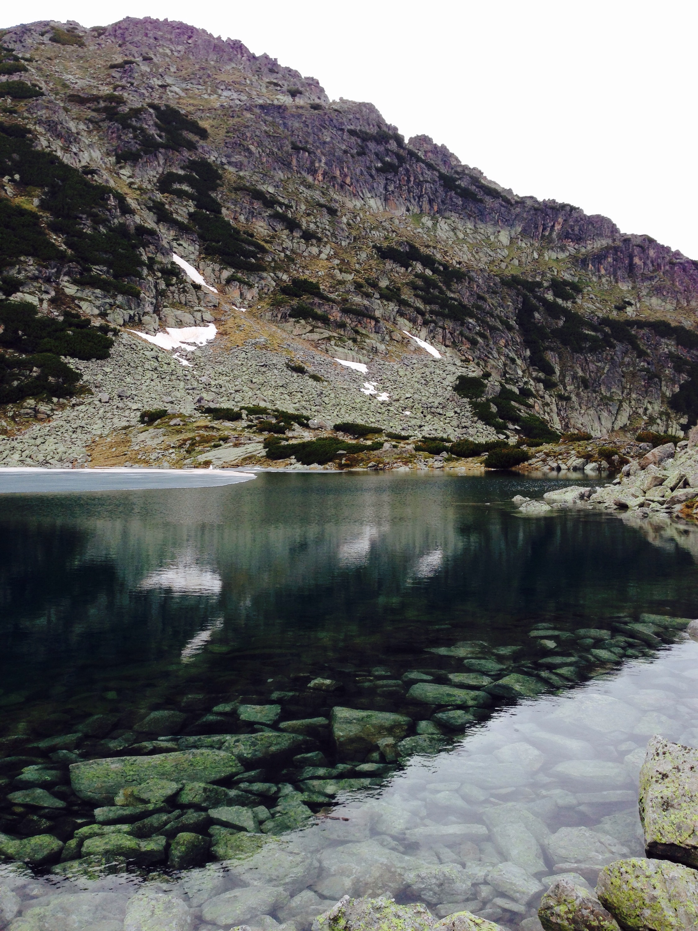
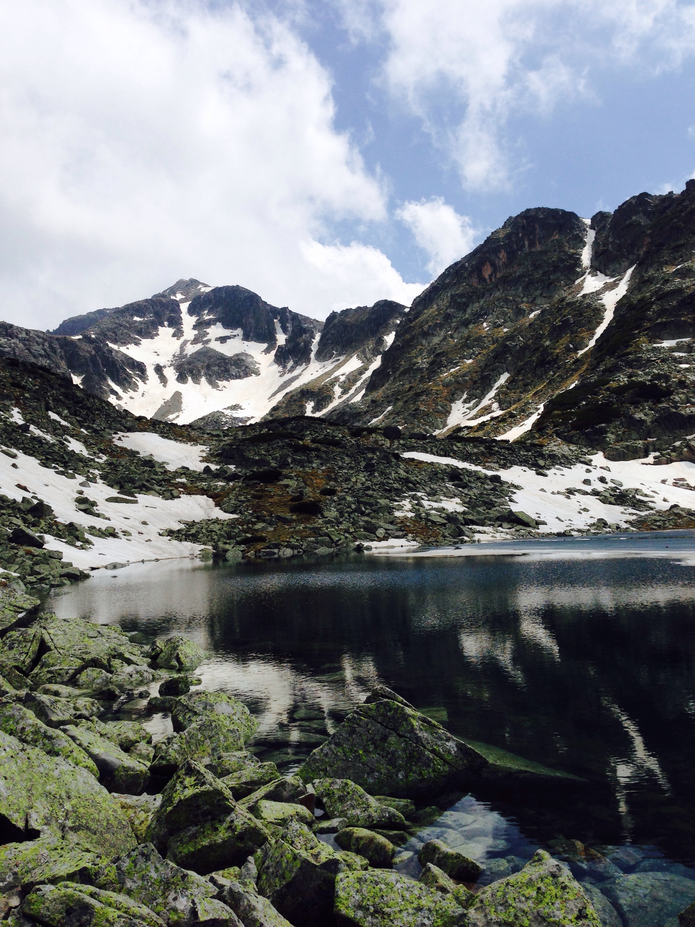
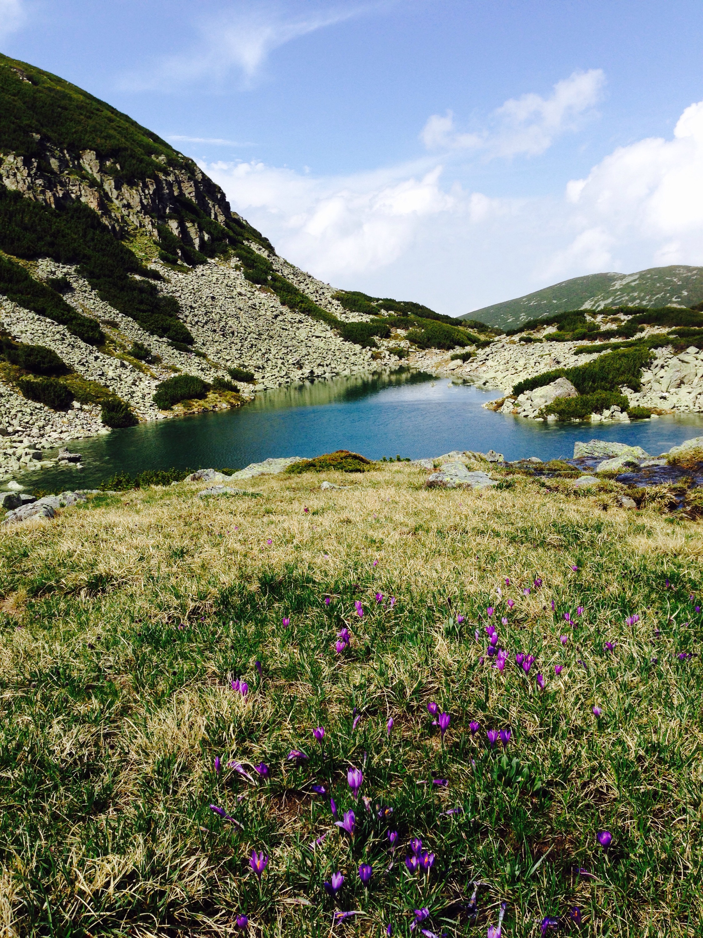
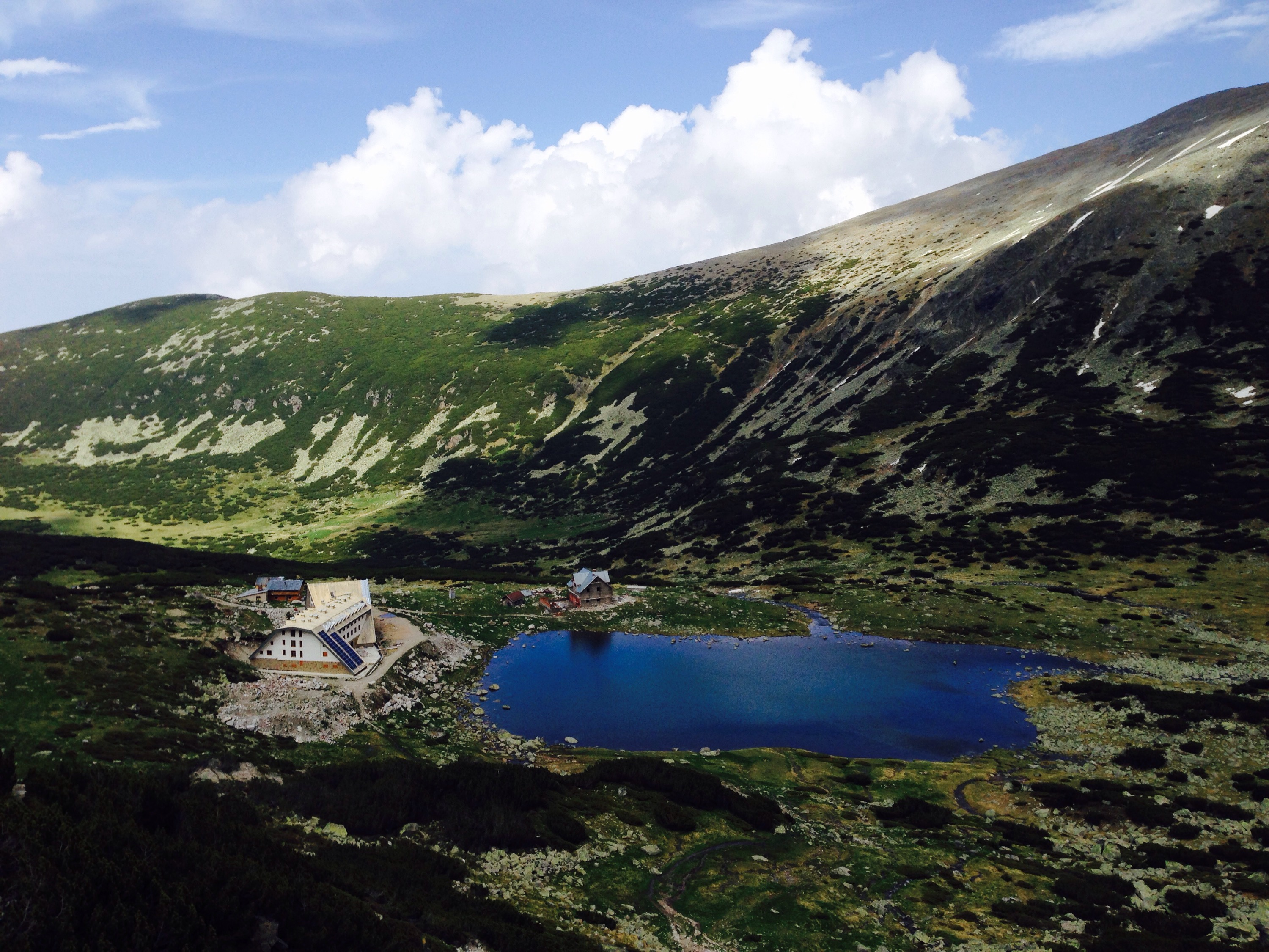
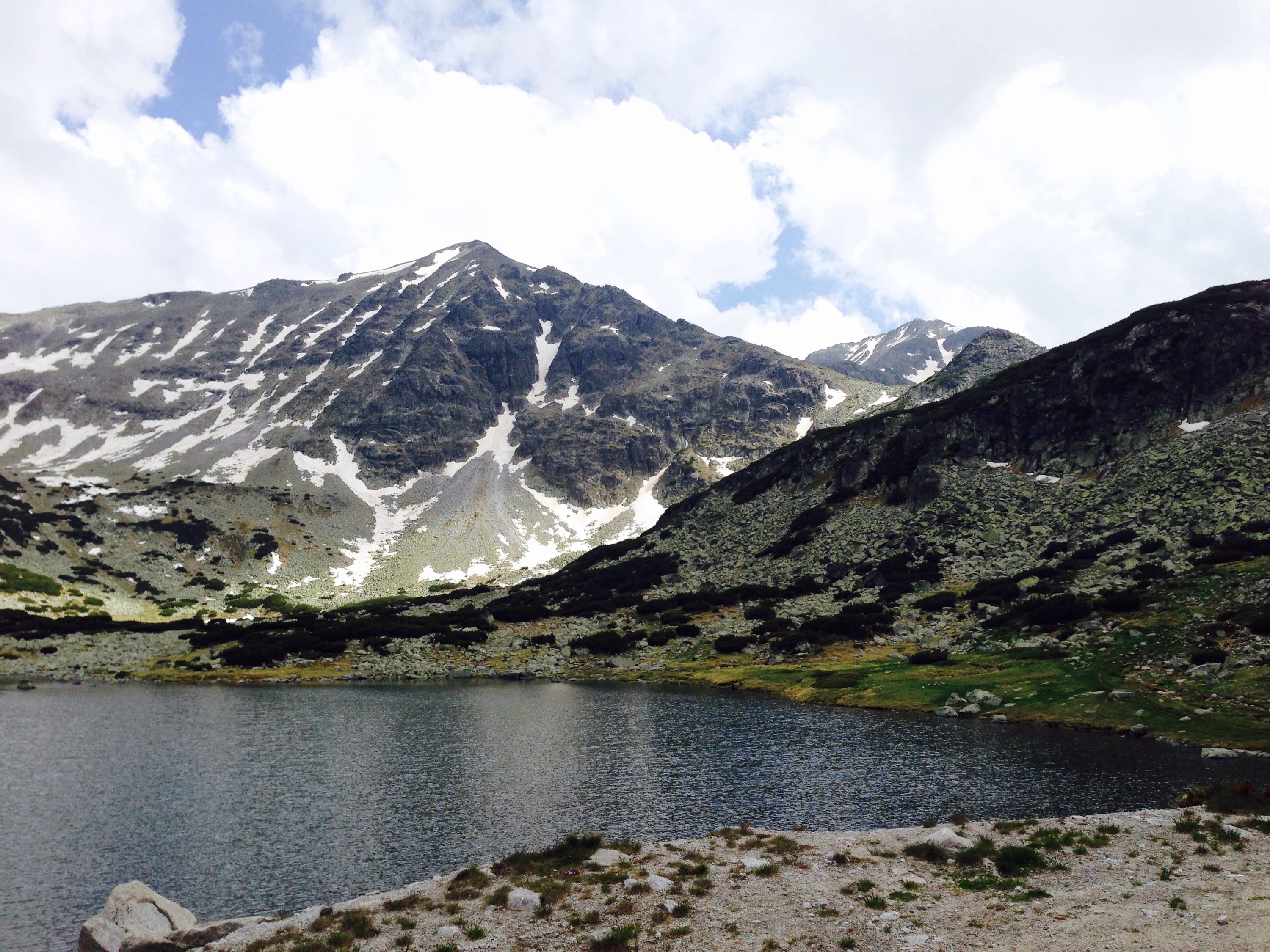
You will pass some small lakes before you get to to a larger lake before the ascent. There are a number of larger buildings here. Here the route folks. You can go via the left folk, which goes over a river board walk (a bit wobbly) or round the back of the buildings to the right. Both routes eventually meet up, so we took the left hand route up and the right hand route back.
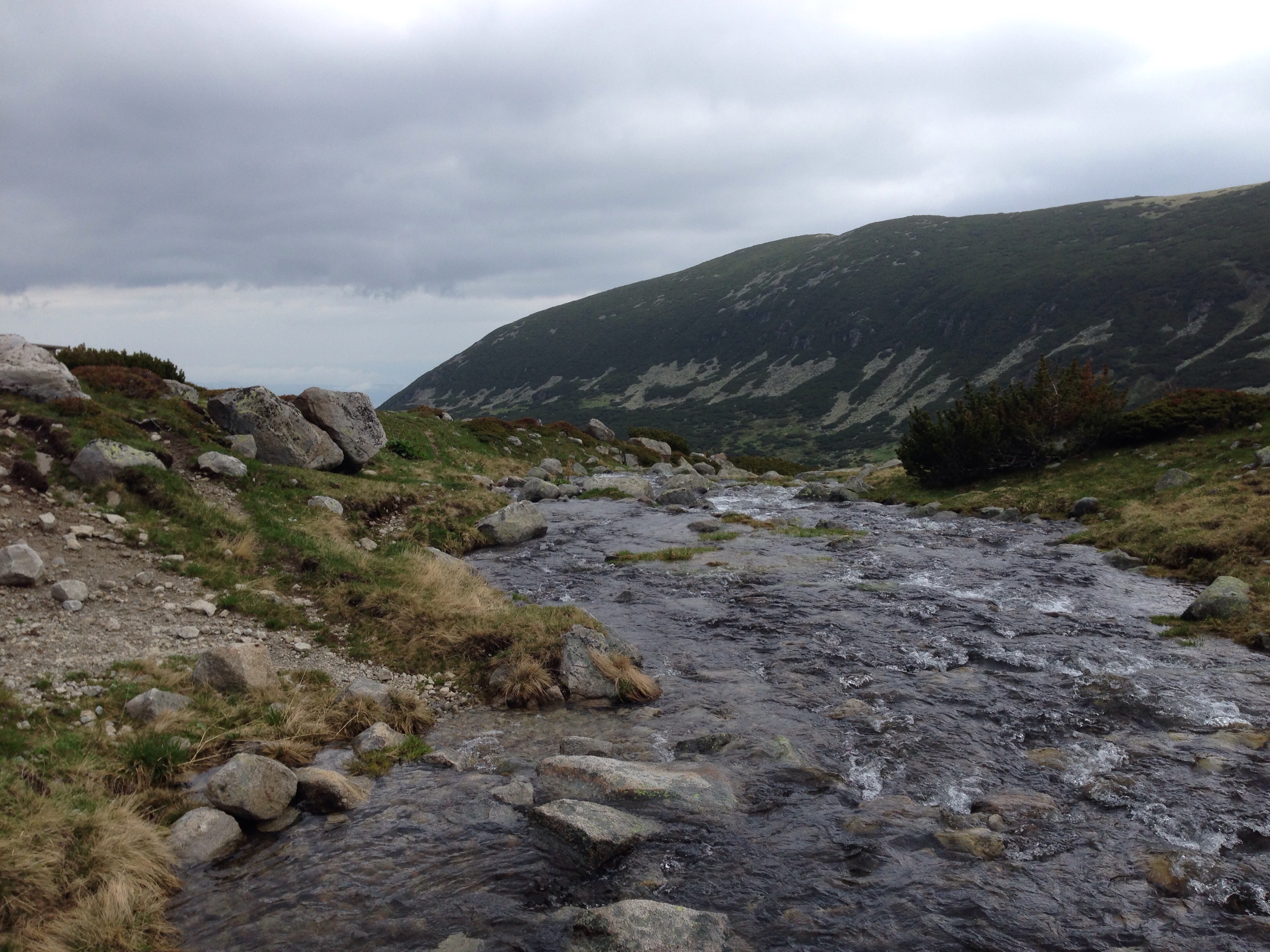
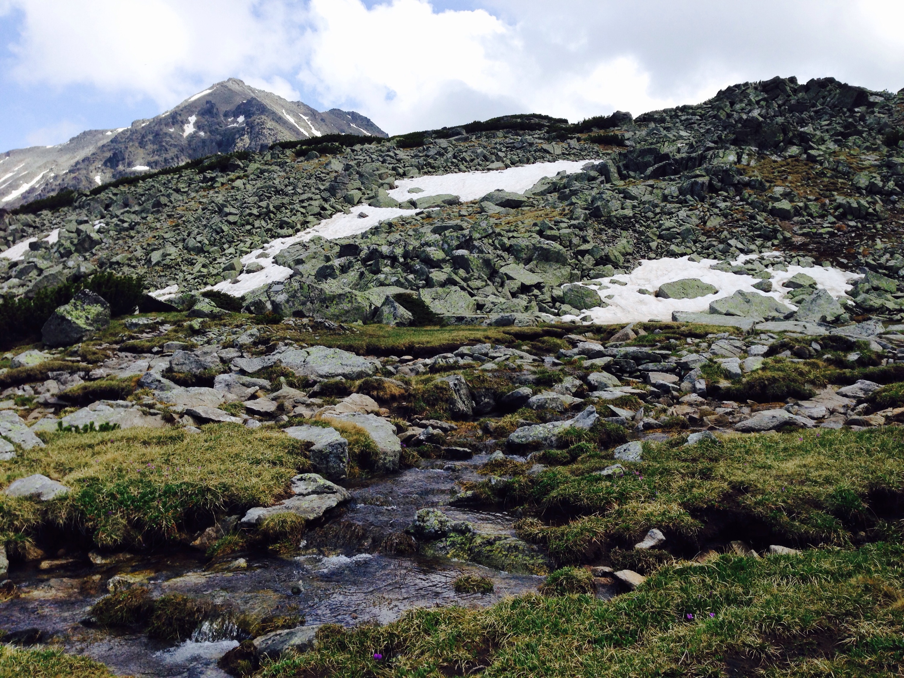
For part of the route, we took up, you follow a river bed. It is rocky with large boulders you climb over. You are also following a set of rusty poles which help denote the path to take.
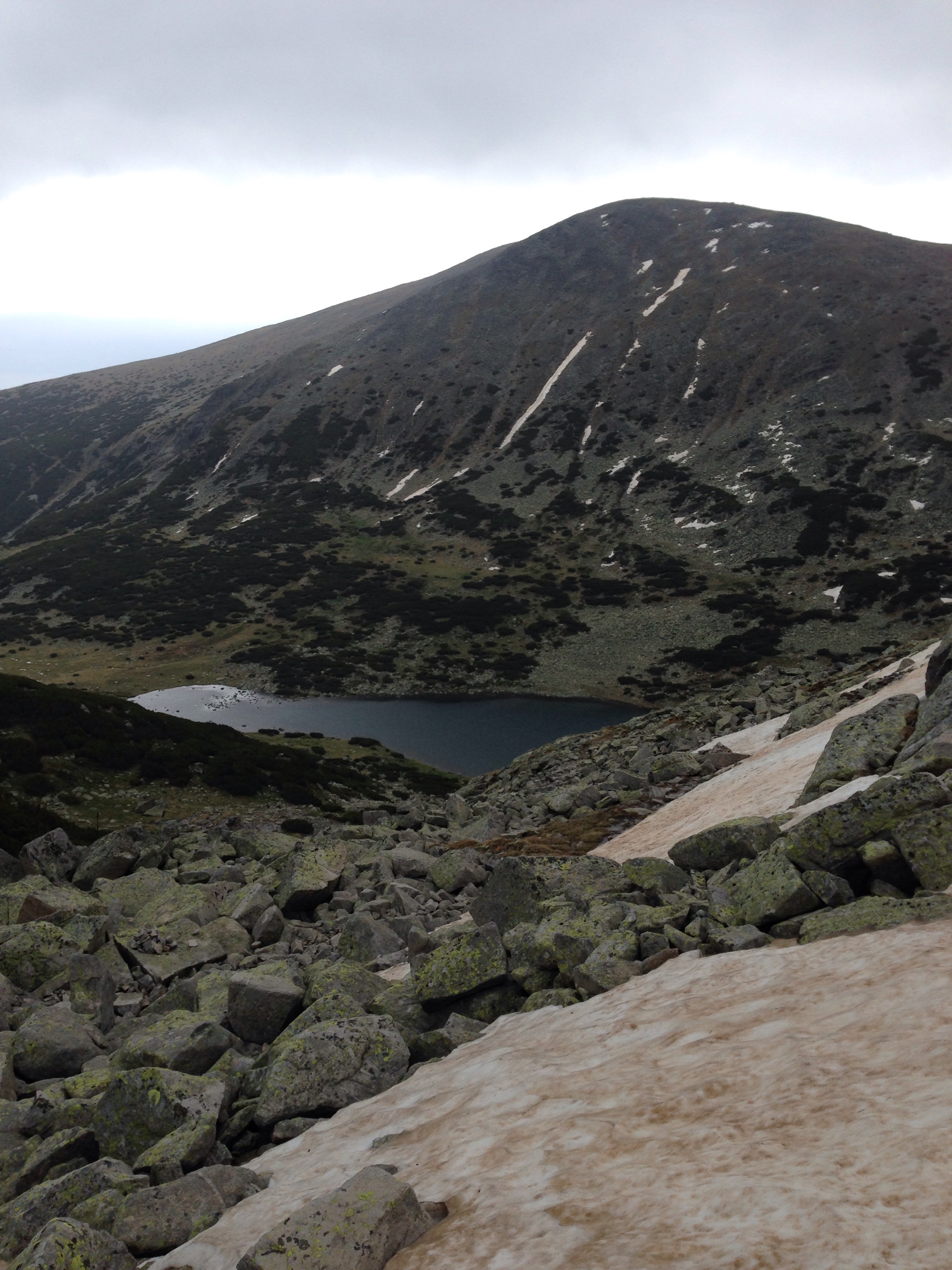
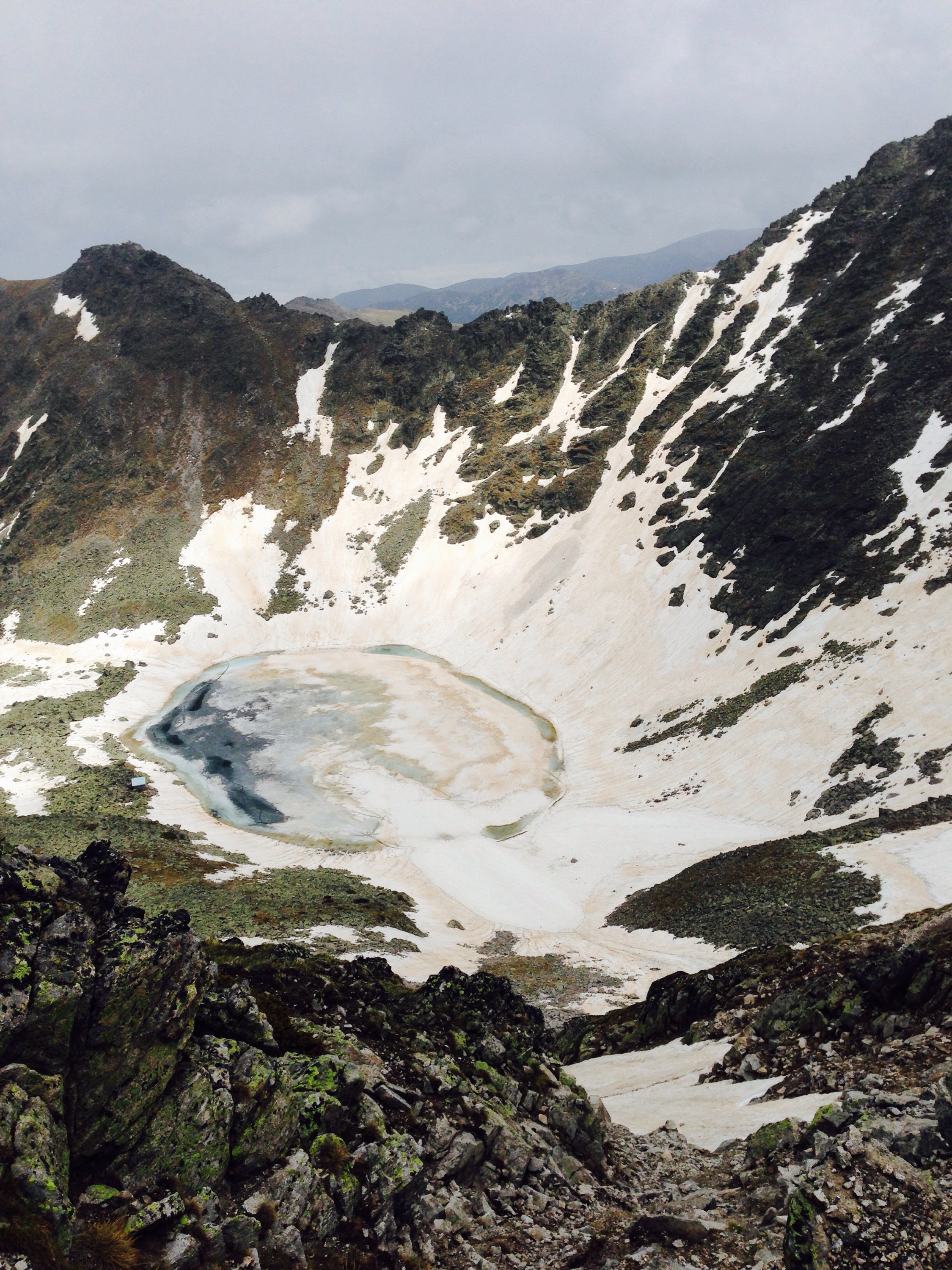
As you wind your way up you pass a number of other lakes on the way. As it was a chilly part of the year when we went these lakes were gradually more frozen as we went up.
We passed a small blue roofed hut too.
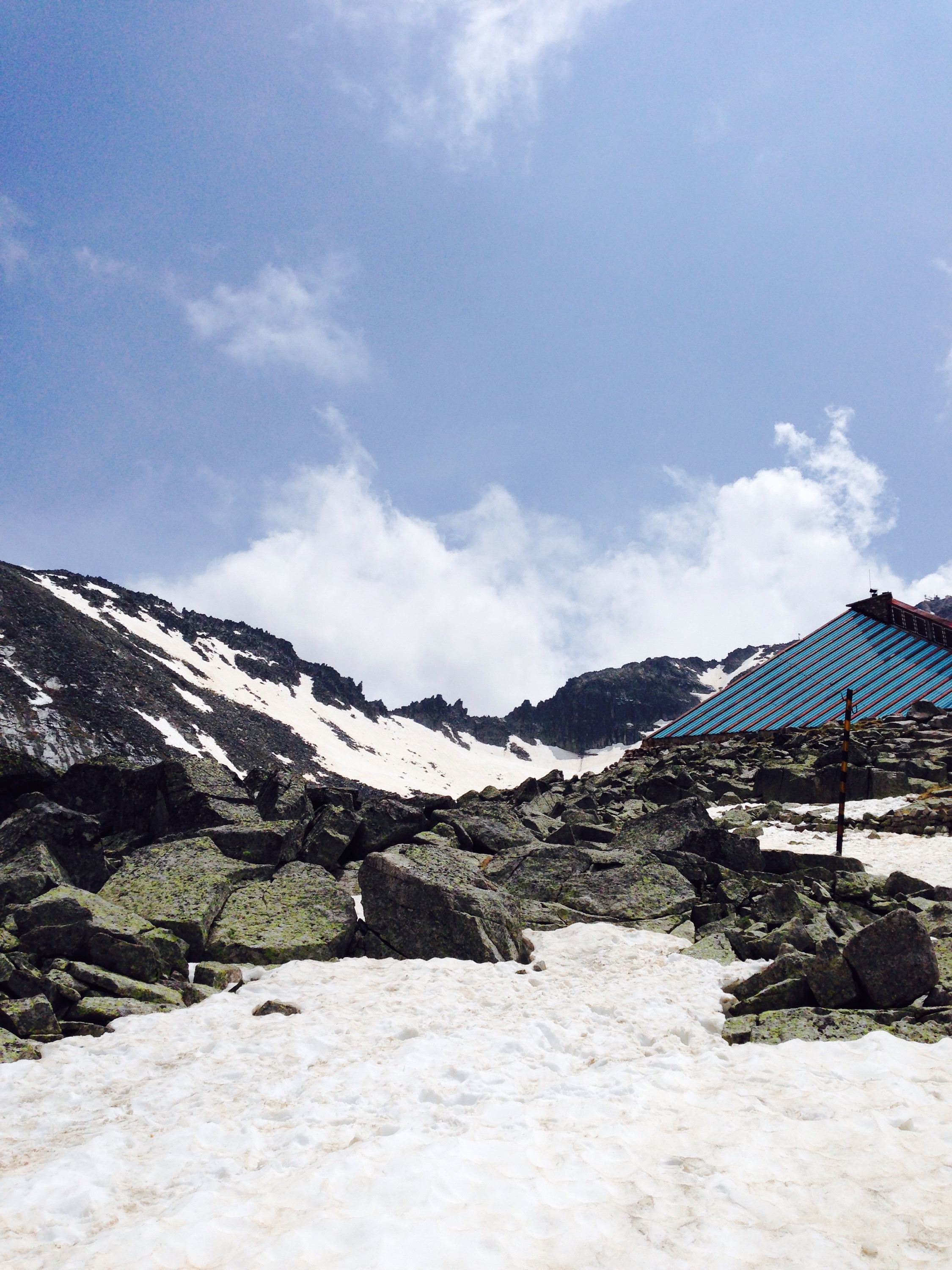
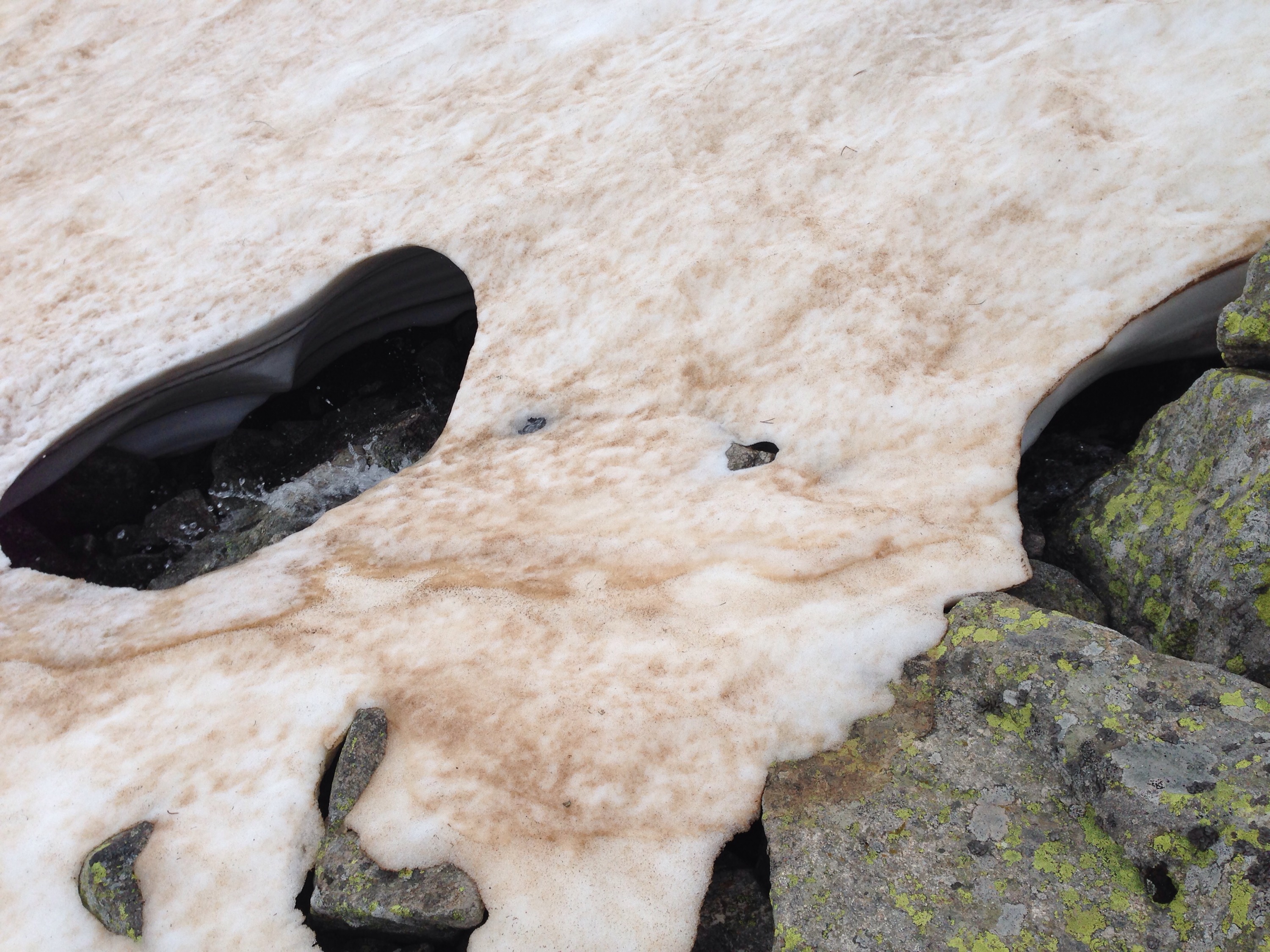
Just above this is where we encountered a slightly scary snow bridge and some bits we had to scramble up.
Finally we got to the top ridge.
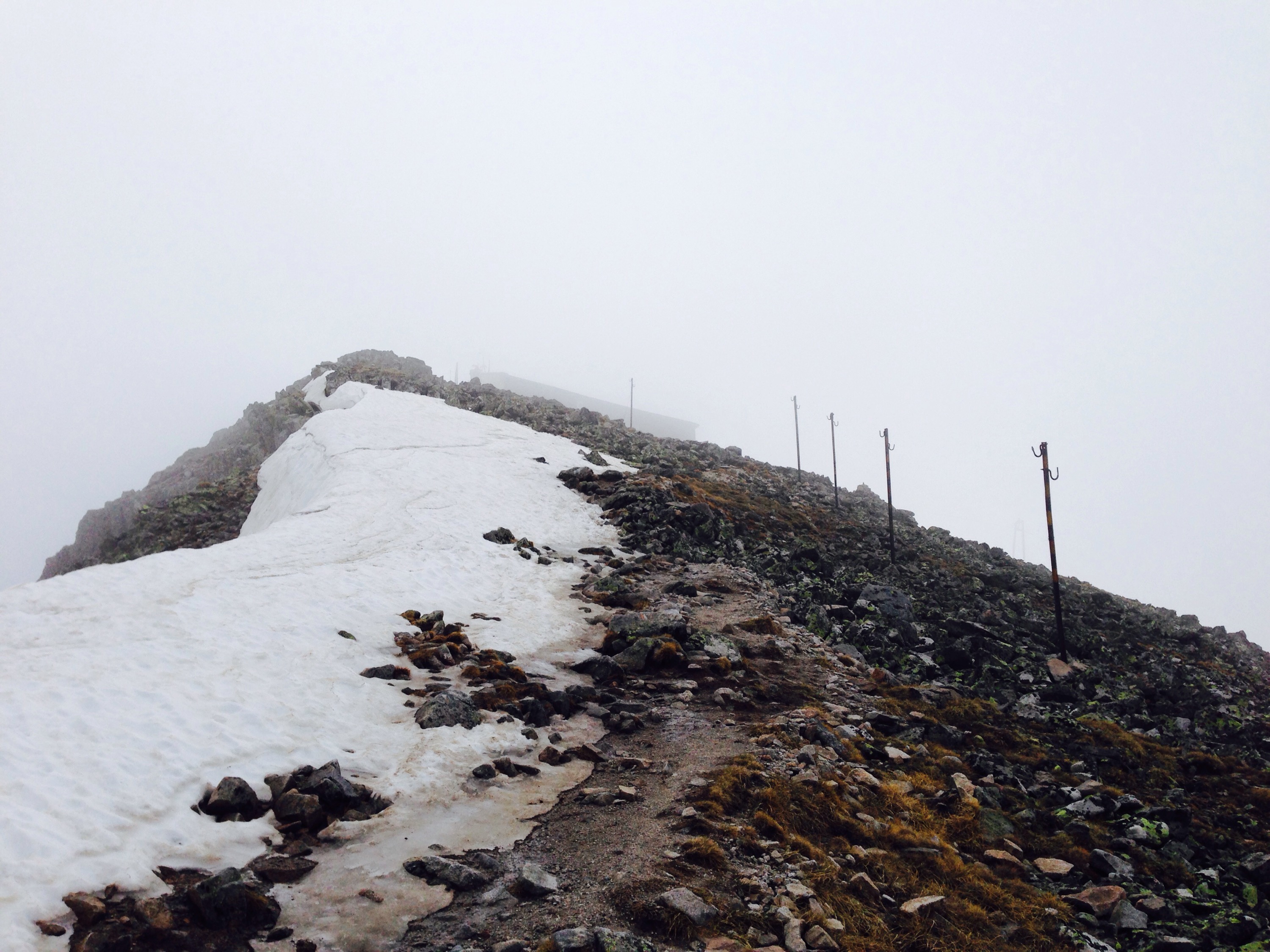
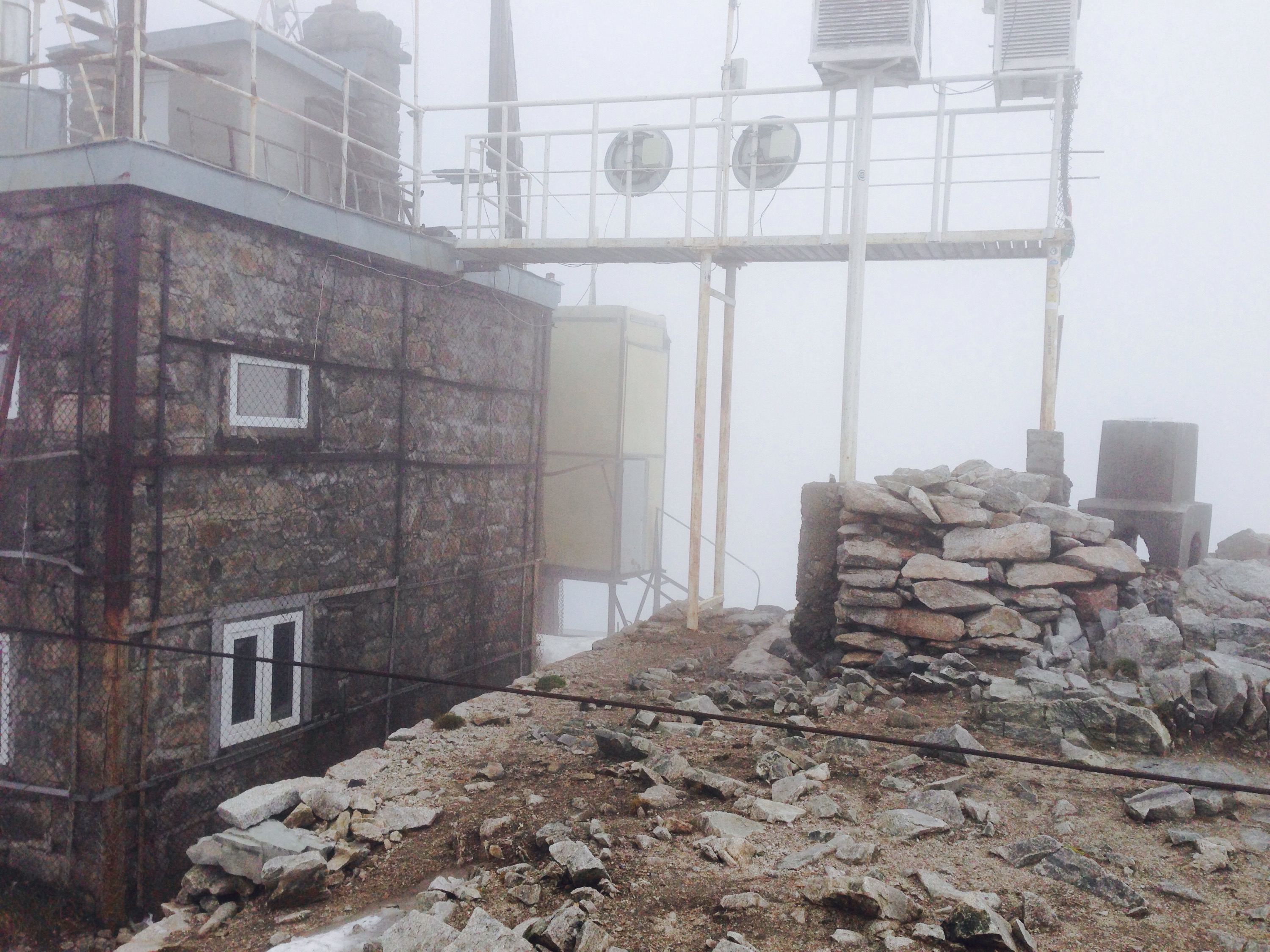
When you get to the top the weather station is a good indicator, as well as the summit sign.
Take advantage of a snack and the shelter the weather station provides for a mini rest before heading down.
As mentioned we took a slightly different route back, which I preferred, however, it was a little boggy in places.
Pat yourself on the back. Just back to the cable car along the same route as you came and back down for a well deserved rest and shower 🙂
